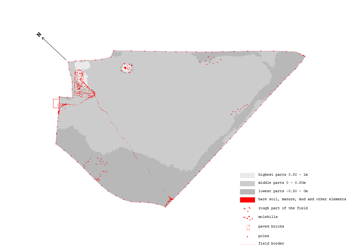
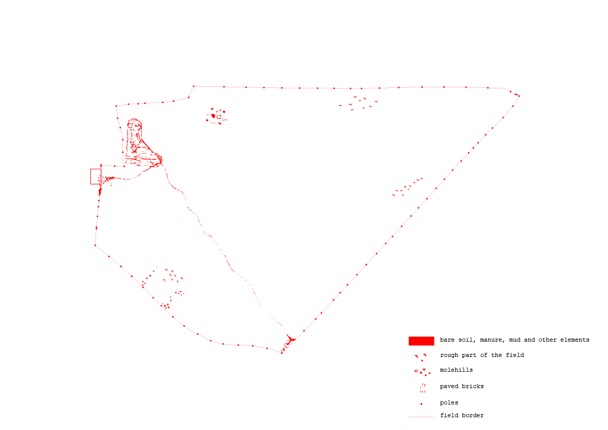
MAPS
The maps of the field serve as ways of getting some grip on the huge amount of details, information and data that the field beholds. Some serve to expand the experience in the field, to get a better understanding of the characteristics of the field, like the relief map or the historical changes map. When you know where a ditch used to be, you understand the highs and lows in the field better, otherwise, the field is too big to always understand if you are in a high or low part of the field and how these parts are shaped. Some serve as illustrations, as insights to understand the parameters of the field better, like the map where I make a comparison between my size and the size of the field. And some serve as a work of reference to the exact places where I took samples. They all serve the need to abstract and simplify reality as a way to understand the field.

historical changes map 1995
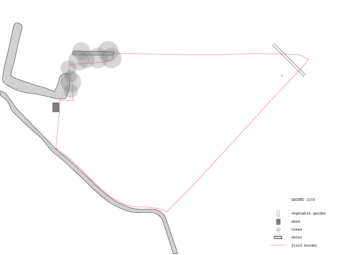
historical changes map 2005

historical changes map 1965
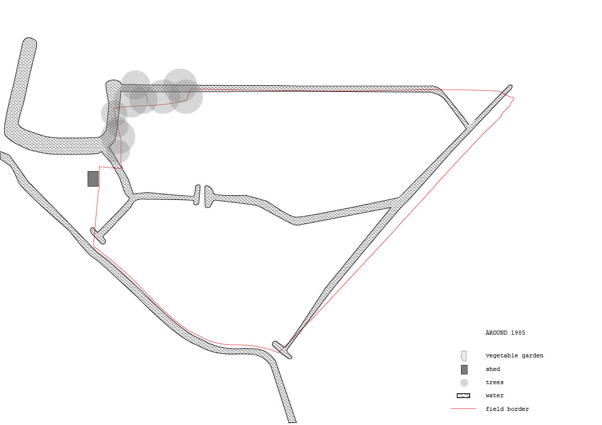
historical changes map 1985
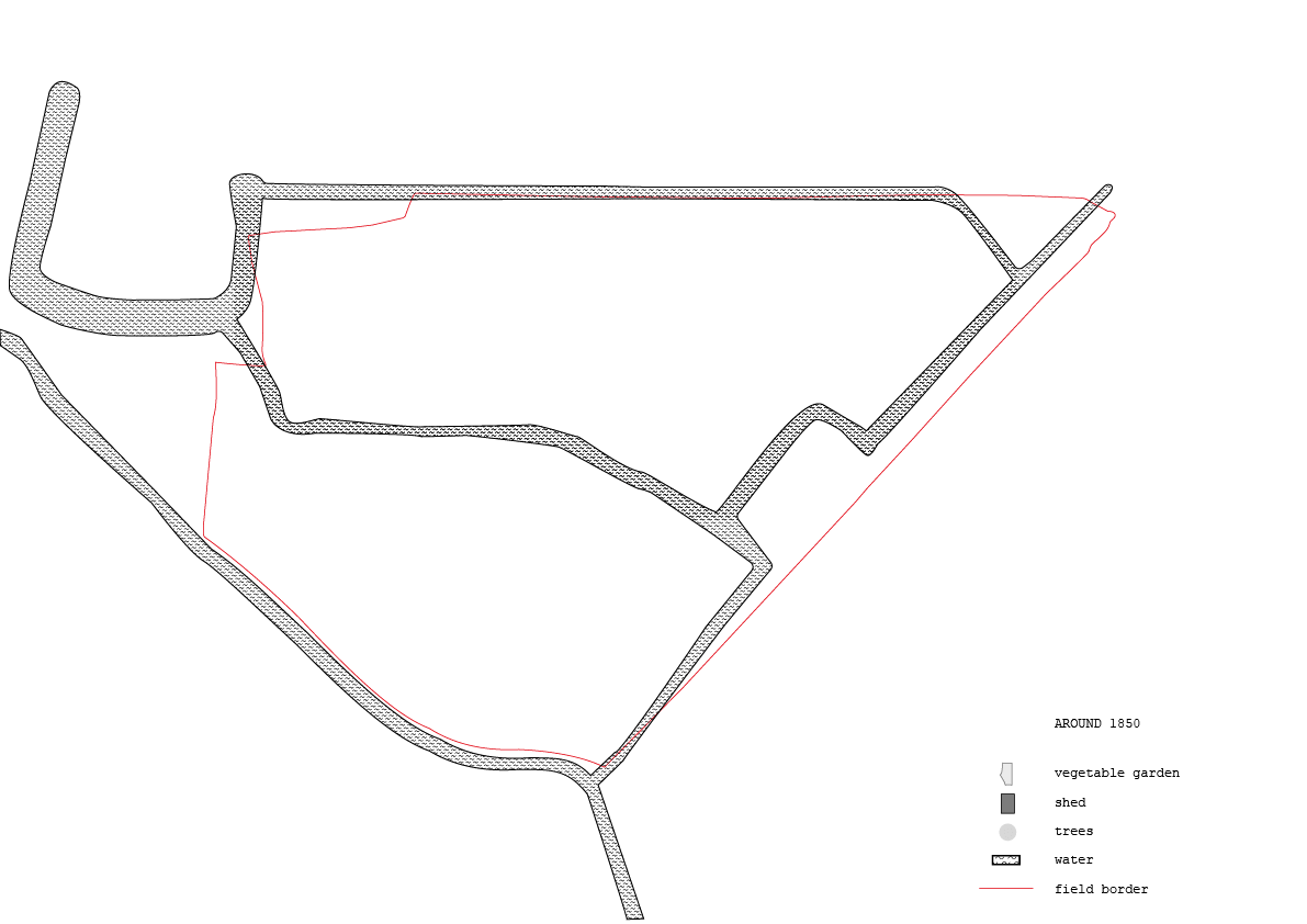
historical changes map 1850

historical changes map 1910
complete map
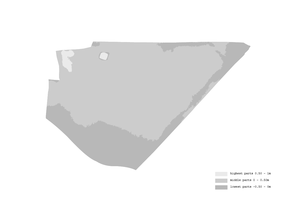
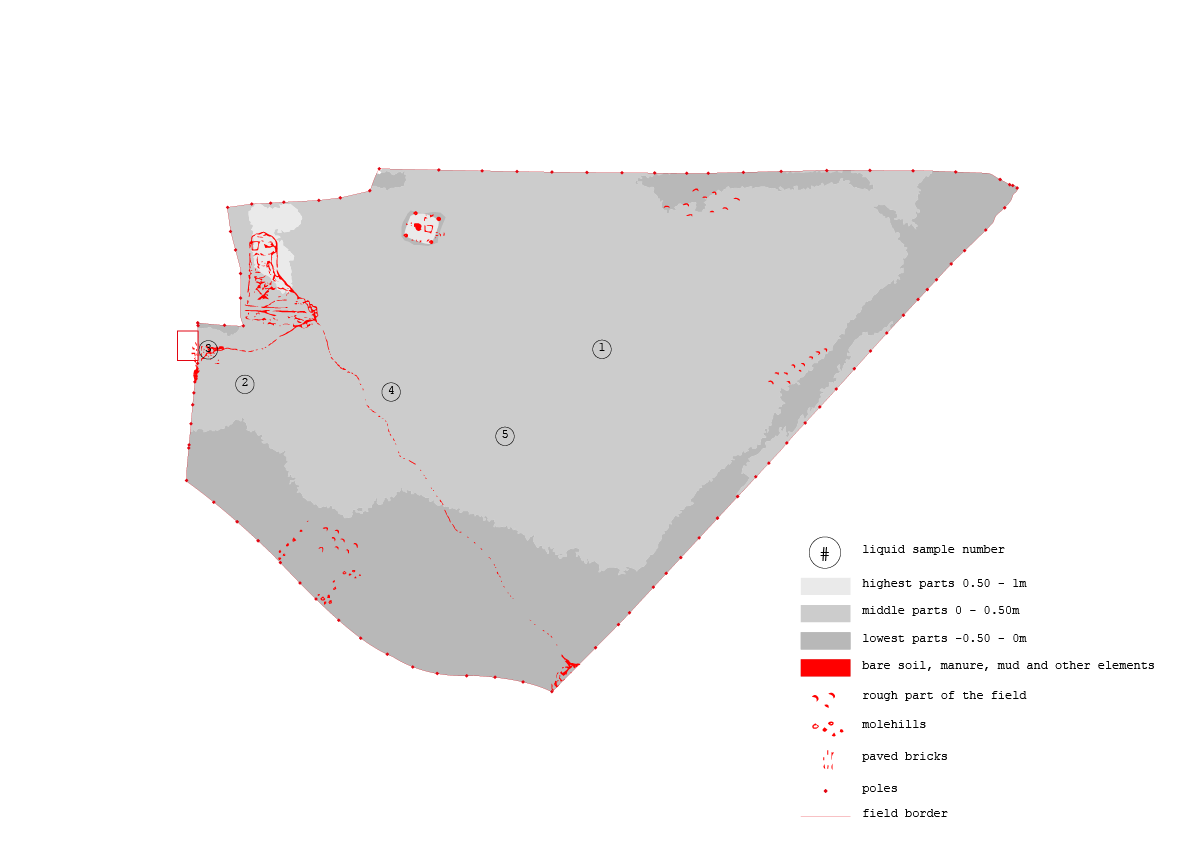
relief map

live area map
area map
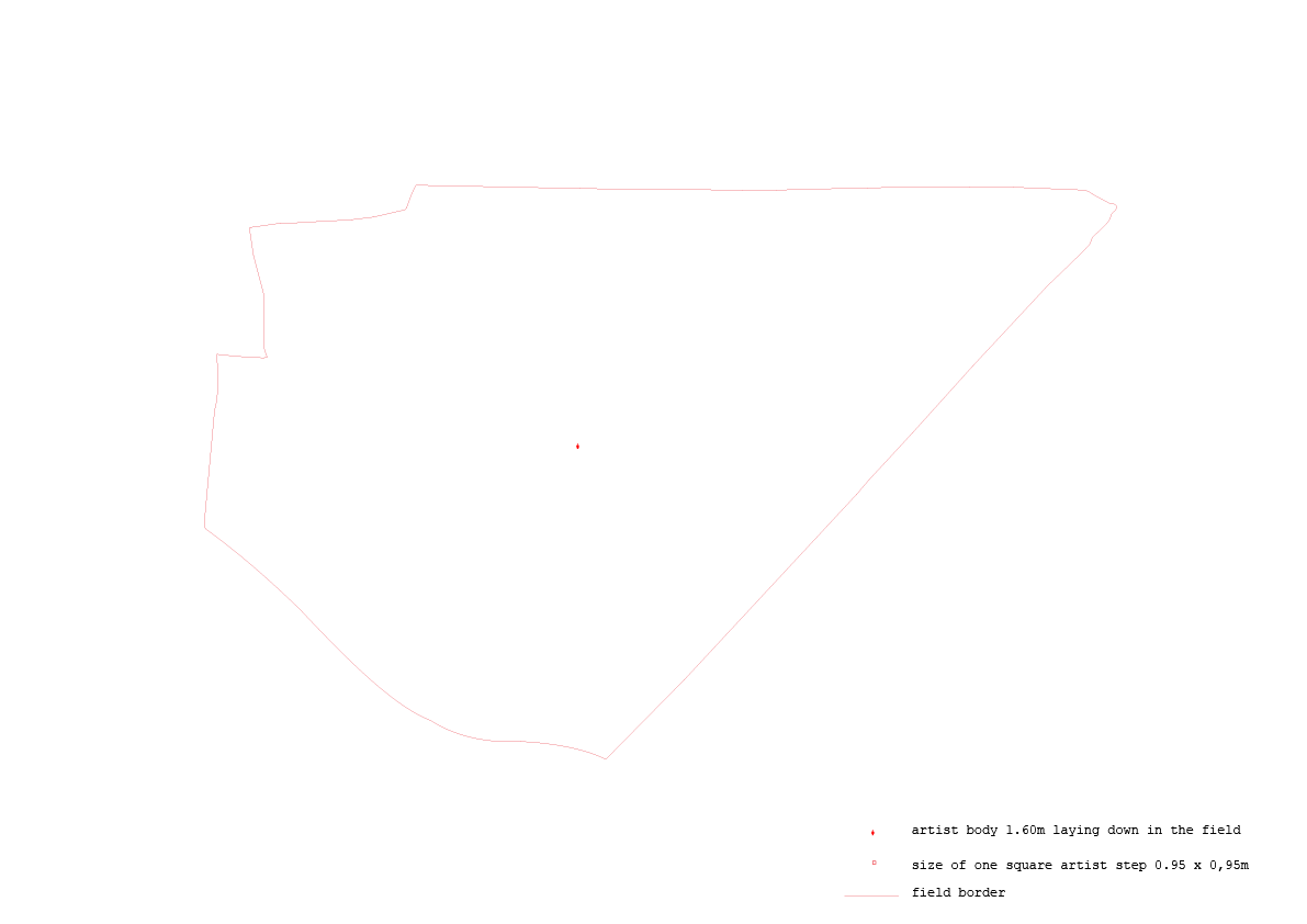
body comparison map

body comparison map 2

live border map
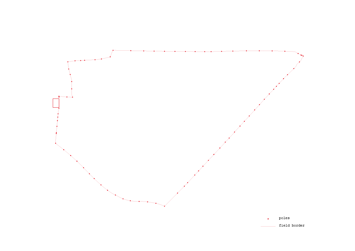
border map

basic map
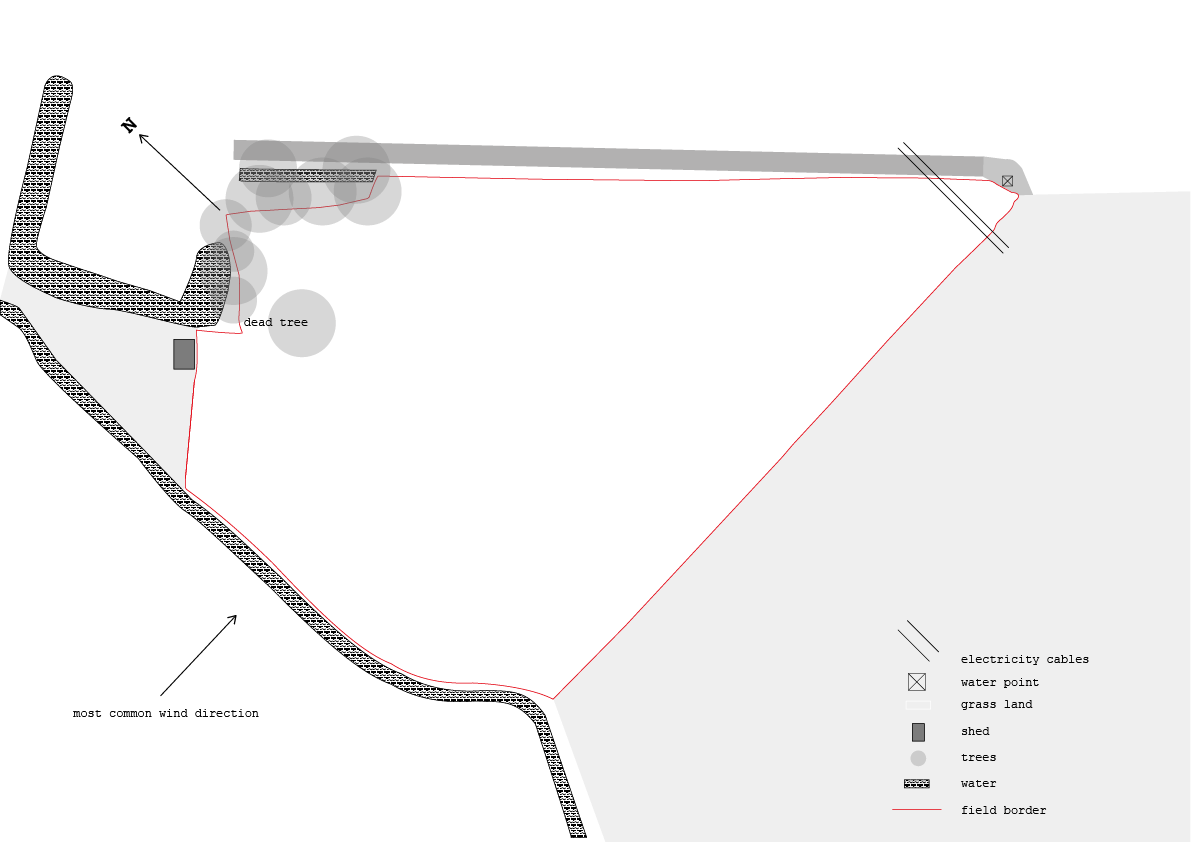
outside influences map
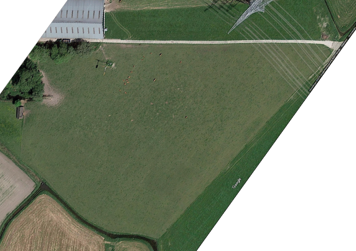
satellite map

satellite map traced